In early September we had just a day and a half to spend in Yellowstone National Park. The
first day was our half day. The second day after spending some time
exploring Upper Geyser Basin, we took the Grand Loop Road down to Yellowstone Lake. We were running out of daylight and really wanted to see the view from Artist Point before the sunset, so we stopped only very briefly here and there to take pictures, and we made it to Artist Point just in time. Here are some of the pictures we took of our drive.
 |
| Yellowstone Lake |
 |
| Yellowstone Lake |
 |
| Yellowstone Lake |
Yellowstone Lake seems huge as you drive along the north shore and gaze out to a distant horizon of wooded shoreline. It is about 15 miles wide and 20 to 30 miles long with more than 100 miles of shoreline. The north shore that we drove along is fairly level for quite a ways after you get around the area known as West Thumb. After that level stretch, the lake extends northward again and the road curves up and along the Yellowstone River, the only outlet for the lake. The south section of the lake consists of two long arms (or fingers?), and the west side has a largish rounded extension that reminded early explorers of a thumb; hence the name West Thumb.
 |
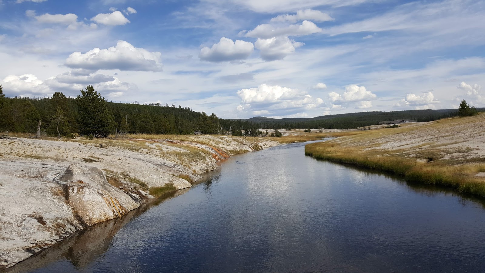
Turning north, we came to a place where we could get down to the banks
of the river. There was a fisherman up the stream a bit. |
 |
| Yellowstone River, looking north, downstream |
 |
| Me and my son |
 |
| My son, looking for things to photograph . . . |
 |
| . . . such as these flowers |
 The Yellowstone River flows northward into the Hayden Valley. We saw lots of bison (American buffalo) there.
 |
| You can just see Mt Washburn in the far distance |
 |
| . |
 |
| . |
 |
| Bison herd |
 |
| Lower Falls and the Grand Canyon of the Yellowstone |
 |
| Looking through the trees upstream |
 |
| Looking downstream into the setting sun |
 |
The yellow stone that gives the
Park its name: Yellowstone |
 |
| The setting sunlight in the trees |
 |
| Grand Canyon of the Yellowstone |

July 1920
 |
Laura Boedefeld and her prospective
son-in-law Fred Andrews, July 1920 |
 |
My son, standing in his great-great grandmother's
and great-grandfather's positions of 99 years ago |
 |
| That yellow stone again |
 |
| It's a deep canyon! |
 |
103 years ago, Bee Boedefeld wrote about the trees stretching away
in the distance looking like a carpet that you could walk over |
 |
| Late glow of the setting sun |
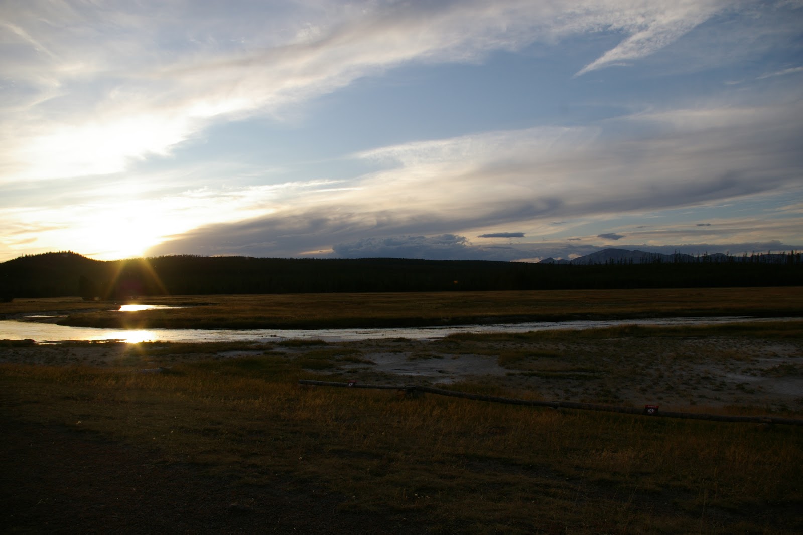
 |
| Sunset over the Gibbon River |
 |
| This is on the rim of the Yellowstone Caldera |


 The Yellowstone River flows northward into the Hayden Valley. We saw lots of bison (American buffalo) there.


